X

c5

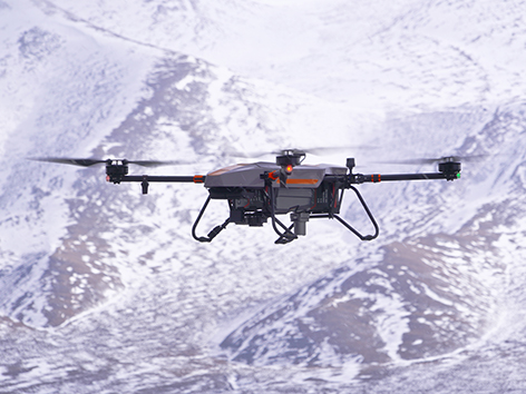
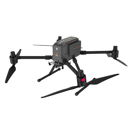
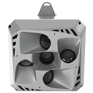
Aerial Orthographic Camera System

The CHCNAV C5 is an aerial orthographic camera system that delivers superior image quality for photogrammetric applications and LiDAR data enhancement. Featuring a full-frame, fixed-focus camera with a large sensor, the C5 system captures large areas in each shot, producing orthophotos with greater detail and accuracy. Its low distortion aerial survey lens significantly improves survey accuracy and ensures reliable results.

High-Resolution
Imaging

45 MP full-frame sensor.

Lightweight
 

Only 290 grams.

Wide
Compatibility

Compatible with multiple UAV platforms.

The C5’s 45 MP sensor captures crisp, clear images, ensuring detailed orthophotos essential for precise mapping and surveying tasks.

Weighing just 290 grams, the C5 enhances flight endurance and is easily integrated into various UAV platforms without compromising stability.

The C5 is compatible with numerous UAVs, including CHCNAV’s X500 and DJI’s M300/M350 RTK, thanks to the versatile Alphaport quick-release interface, facilitating seamless installation and operation.

Equipped with 256 GB internal memory and a USB-C interface, the C5 offers a fast data transfer rate of up to 80 Mb/s, allowing for quick and reliable data access after each mission.

Aerial
Orthophotography

Real Estate
Development

Cadastral
Mapping

Specifications

Imaging

  • Resolution : 45 MP
  • Focal length : 35 mm
  • Camera lenses : 1
  • Capture interval : 1 s minimum

System

  • Weight : 290 g
  • Dimensions : 5 x 63.5 x 102.5 mm