Precision
where it
matters most.
SIMAR Geospatial delivers professional GNSS, 3D mapping, hydrographic and monitoring technology — with expert guidance from selection through to deployment.
Geospatial technology matched to your project.
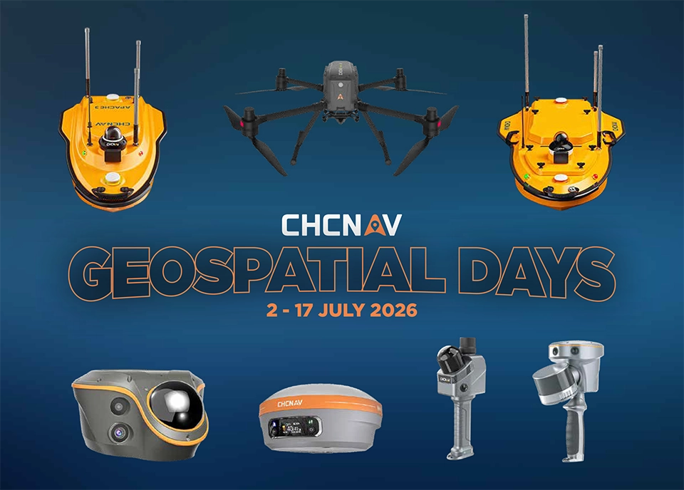
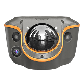
SIMAR Geospatial provides equipment and advisory across four core verticals. Whether you're setting out a civil project, capturing a point cloud or monitoring critical infrastructure — we help you select, configure and deploy the right technology.
Professional geospatial equipment, ready to deploy.
Built for teams that depend on spatial certainty.
From construction setout to marine bathymetry, SIMAR Geospatial provides the right equipment and practical guidance for your project application.
Expert support from selection to ongoing operations.
SIMAR Geospatial goes beyond equipment supply. Our team provides practical, project-specific advice and hands-on support to make sure your technology works from day one.
Australian geospatial equipment and expert support.
SIMAR Geospatial is an Australian supplier of professional positioning, mapping and spatial data technologies. We supply CHC Navigation GNSS receivers, controllers, tablets, total stations, surveying software and hydrographic equipment — backed by practical technical advice and long-term support.
Whether you need a single receiver, a full survey system or help configuring an existing workflow, our specialists are ready to assist.