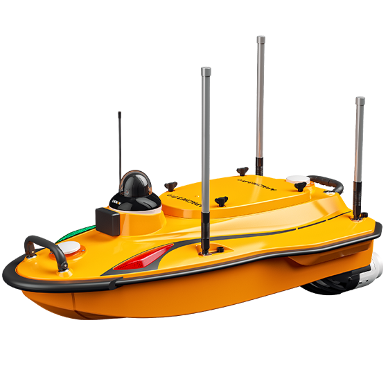
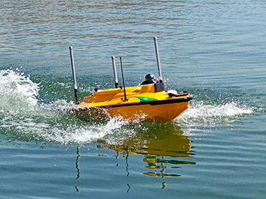
The APACHE 3 Pro is a compact unmanned surface vehicle (USV) designed for autonomous bathymetric surveys in shallow water environments, including lakes, rivers, and coastal areas. Its lightweight carbon fibre hull makes it easy to deploy, while advanced GNSS RTK + INS navigation delivers reliable positioning in the field.
With an integrated single-beam echosounder, the APACHE 3 Pro provides accurate depth measurements, maintaining stability and performance even in challenging conditions such as under bridges or around infrastructure—making it well suited to a variety of Australian hydrographic survey applications. BOOK A DEMO REQUEST A QUOTE
Features

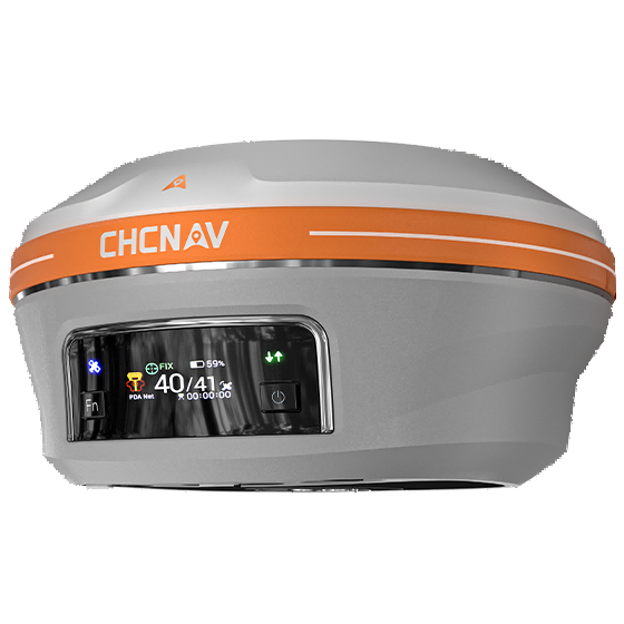
GNSS RTK + INS
Precise positioning even when GNSS signal are lost.

Intelligent Power Management
Balanced power supply for uninterrupted missions.

CHCNAV D270 Echosounder
Accurate depth measurements.

Android-based EasySail
Integrated data acquisition, post-processing, and real-time parameter display.
Benefits
Industry Use Cases

Bathymetric Surveys

Reservoir Volume Estimation
Product Specifications
Performance
- Speed max. : 7 m/s max
- Payload capacity : 35 kg max
- Draft : 10 cm
- Positioning : Full GNSS + IMU
Sensors
- Camera : 360° video
Echosounder
- Type : Single beam, 200 kHz
- Range : 0.1 to 200 m
- Accuracy : ±0.01 m + 0.1% x D
