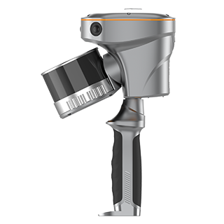
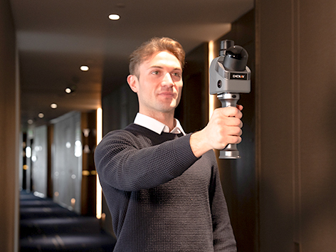
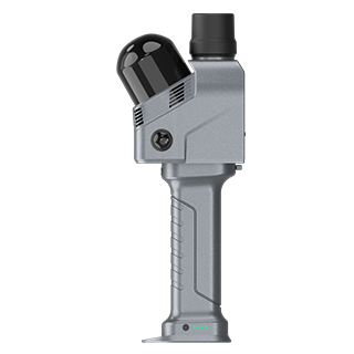
The RS7 is CHCNAV’s high-performance, professional-grade handheld LiDAR SLAM scanner, purpose-built for building and interior applications.
Combining high-precision INS with advanced SLAM, and featuring an IMU with bias instability better than 0.5°/h, it delivers reliable motion tracking—even in low-feature environments. With LiDAR capture up to 1.15 million points per second, a 360° × 189° ultra-wide field of view, HD imaging, 3D Gaussian Splatting, and seamless device-to-cloud workflows, the RS7 provides an efficient and cost-effective solution for capturing high-quality 3D data in Australian conditions. BOOK A DEMO REQUEST A QUOTE
Features
High-Rate LiDAR
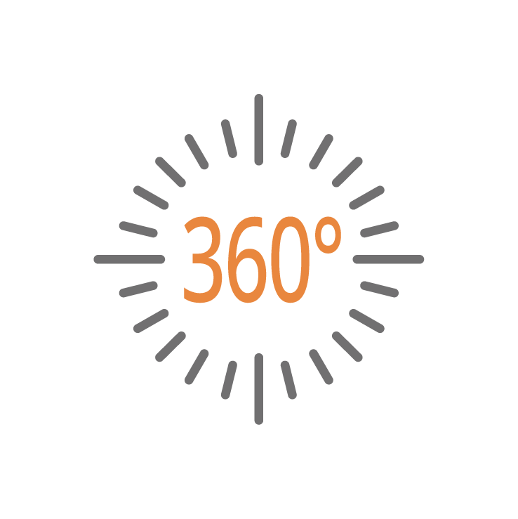
Up to 1.15 million pts/s. 360°×189° ultra-wide FOV

High-precision IMU
IMU bias instability better than 0.5°/h

HD Imaging System
Dual 12 MP HD cameras for sharper images in low-light conditions
Expansion Interfaces
Expandable design with an open hardware interface and SDK
Benefits
Industry Use Cases

As-Built
Surveying

Forestry and Vegetation
Mapping

Utility
Inspection

Augmented Topographic
Surveying
Product Specifications
Laser Scanner
- Channels : 16 or 32
- Range : 120 or 300 m
- Scanning rate : 320.000 or 640.000 pulses/sec
- Field of view : 210° x 170°
- Returns : Up to 2
Sensors
- Camera : 15 MP (3x 5 MP)
Positioning
- GNSS : Full GNSS
- Absolute accuracy : < 5cmH / < 5cmV
- Relative accuracy : < 1 cm
