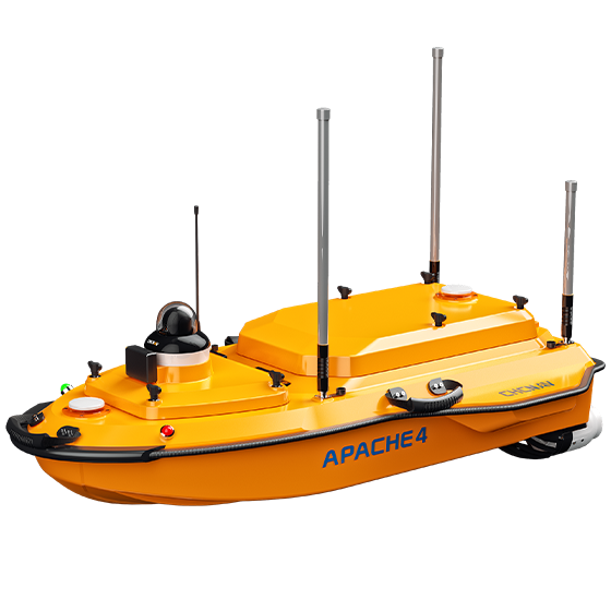
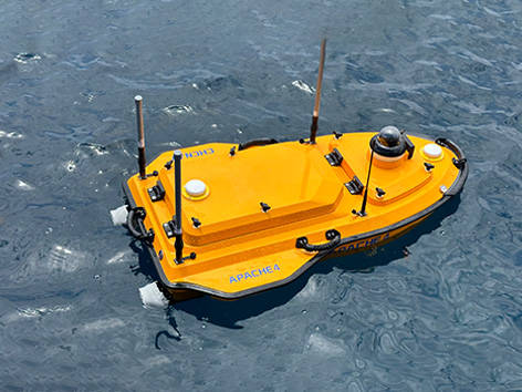
The APACHE 4 USV is purpose-built for hydrological studies, making it a strong fit for Australia’s diverse waterways—from inland rivers and irrigation channels to coastal estuaries. It supports a range of ADCP and compact multibeam systems, delivering the accuracy and flexibility needed for detailed flow and discharge measurements.
Its shallow draft and stable hovering capability make it ideal for capturing water velocity data in challenging environments, including low-flow rivers and hard-to-access sites common across regional and remote Australia. Compact and easy to handle, it allows for simple transport by vehicle, quick launches, and efficient site management in the field.
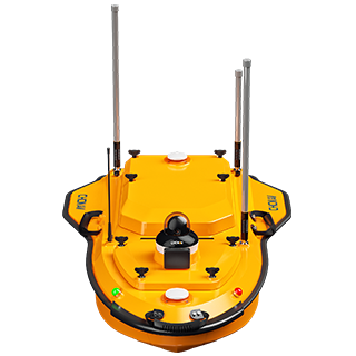
With integrated GNSS and IMU technology, the APACHE 4 provides reliable positioning and heading, enhancing both ADCP performance and autopilot control—ensuring precise, dependable water flow analysis in Australian conditions. BOOK A DEMO REQUEST A QUOTE
Features

Configurable Platform
Available with a selection of different sensors.

GNSS+IMU
Accurate positioning and heading data.
Android OS
Android software for hydrological and bathymetric surveys.

Lightweight
13 kg for single-operator deployment.
Benefits
Industry Use Cases

Flood Risk Assessment

Sediment Transport Studies

Port Current Analysis

River Discharge Measurement
Product Specifications
Performances
- Speed max. : 6.5 m/s max
- Payload capacity : Up to 40 kg
- Draft : 8.6 cm (unladen)
- Positioning : Full GNSS + IMU
Sensors
- Camera: 360° video
Echosounder
- Type : Single beam, 200 kHz
- Range : 0.1 to 200 m
- Accuracy : ±0.01 m + 0.1% x D
