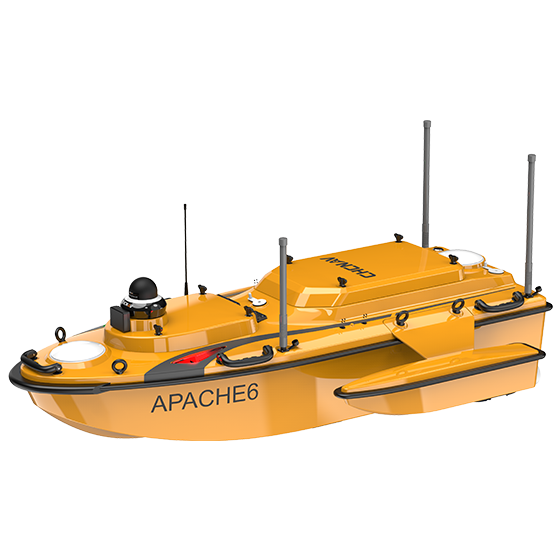
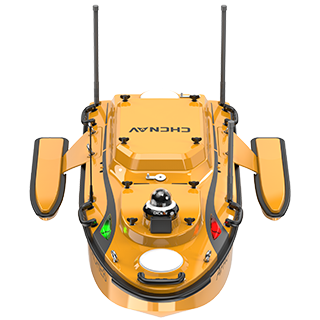
The APACHE 6 is an autonomous USV designed for high-resolution 3D bathymetric surveys, underwater object detection, and offshore construction support. Built to handle demanding marine environments, it’s well suited to Australia’s coastal waters, ports, and offshore projects.
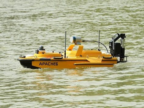
Featuring a dual-propeller system, it delivers stable automatic cruising and efficient operation, even in variable conditions. With Android-based remote control, the APACHE 6 offers flexible, user-friendly operation—providing the accuracy and control needed for complex marine survey work across Australian waters. BOOK A DEMO REQUEST A QUOTE
Features
Multibeam Echosounder
Optional Multibeam multibeam sounder.
Superior powertrain
Adaptable to complex flow environments.
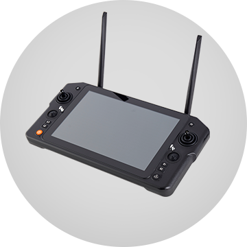
Android remote control
Feature-rich and easy to use.
Benefits
Perform accurate 3D bathymetric surveys with optional multibeam echosounders and LiDAR scanner. Collect high-resolution data and improve the accuracy of underwater object location and offshore construction.
The APACHE 6 tri-hull design and detachable side floats offer a stable position and greater adaptability to ensure optimum stability even in fast currents.
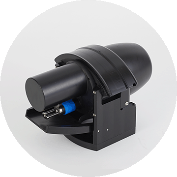
The APACHE 6 supports an optional automatic sound velocity profiler kit, which can be controlled via the remote controller. The kit can be installed or removed in under one minute, providing a complete multibeam echo sounder solution for the USV.
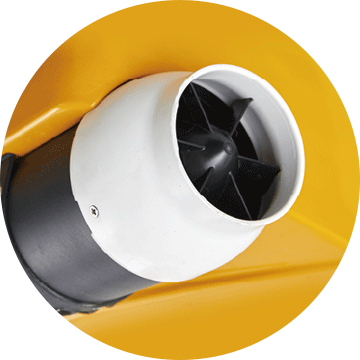
The APACHE 6 utilizes intelligent rotating propeller technology to adjust the direction of water flow. It allows the USV to achieve a turning radius of just 2 meters, making it ideal for operation in narrow waterways. It also enhances the efficiency of multibeam echo sounder bathymetric surveys.
The Android remote control provides real-time access to vessel status and survey data, eliminating the need for a computer. Its intuitive interface ensures efficient survey operations, while a multi-link communication enables long-distance data transmission for seamless control of the APACHE 6.
Industry Use Cases

Dredging Operations

Port Surveys

Bridge and Dam Inspections
River & Lake Topography
Product Specifications
Performances
- Speed max. : 6.5 m/s max
- Payload capacity : Up to 60 kg
- Draft : 7.5 cm (unladen)
- Positioning : Full GNSS + IMU
Sensors
- Camera: 360° video
Echosounder
- Type : Single beam, 200 kHz
- Range : 0.1 to 200 m
- Accuracy : ±0.01 m + 0.1% x D
