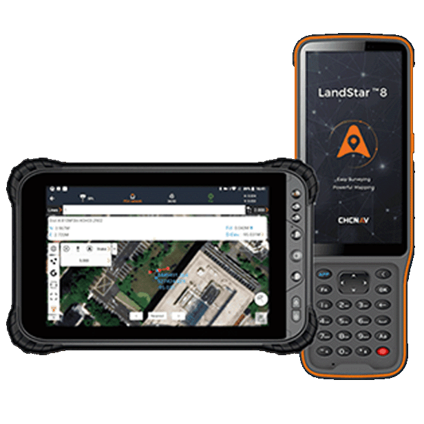
LandStar 8 is a reliable data collection app for Android devices and CHCNAV controllers, designed to streamline high-precision surveying and mapping with simple workflows and an intuitive interface. It brings together all the essential tools, including construction surveying, control point measurement, CAD support, and efficient stakeout of points, lines, and surfaces.
With support for industry-standard data formats, LandStar 8 makes importing and exporting data seamless—helping professionals get up and running quickly and improve productivity across a wide range of Australian surveying projects. BOOK A DEMO REQUEST A QUOTE
Features

MetaCAD Engine
Open DWG and DXF base maps fast and with smoother rendering.

Cloud Connectivity
Project backup, collaborative work and remote support.

Modular
Customizable user interface for ease-of-use.

Comprehensive
Construction surveying, CAD support, and efficient stakeout.
Benefits
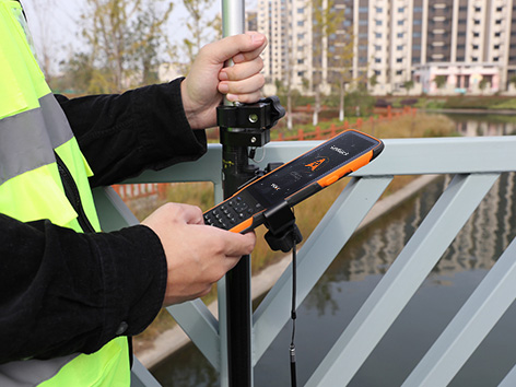
Industry Use Cases

Topographic & Road Surveying

Construction Layout

Earthwork Volume Calculations

Cadastral Mapping
Product Specifications
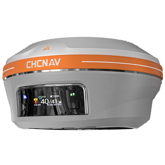
System
- Operating system : Android
- Languages : Over 35 supported
Interface
- User menu : Customizable
- Online basemaps : Google, Bing, WMS, WFS
Connectivity
- Wireless : Bluetooth, Wi-Fi
- Cloud: Data storage and remote support
Features
- Functions : Data collection, stakeouts and more.
- File formats : SHP, DWG, DXF, KML, GPX, TIFF, JPG, MBTiles
